

From raw capture to decision-ready spatial data.
A focused service stack for mapping, infrastructure, mobility and terrain intelligence — engineered around precision, throughput and practical downstream use.
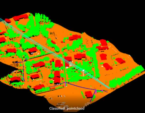
Point-cloud intelligence
Classification, DTM/DSM/DEM, breaklines, contours, 3D city models, corridor and asset mapping.
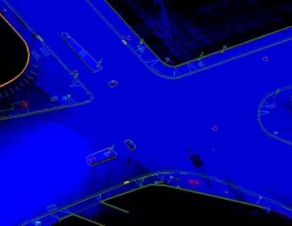
Mapping in motion
Efficient feature extraction and 3D mapping from sensor-rich mobile capture for streets, cities and assets.
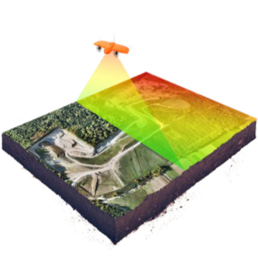
Aerial data workflows
Orthophoto generation, UAV LiDAR classification and detailed high-resolution site intelligence.
Pixels to precise models
Imagery transformed into measurable terrain, 3D models, parcel layers and production-ready maps.
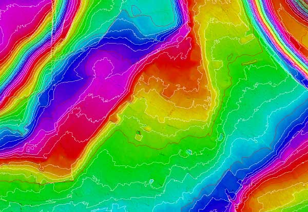
The layers between capture and decision.
DSM / DTM / DEM
Elevation surfaces and terrain models for analysis, planning and visualization.
Contours & breaklines
Structured elevation features that improve terrain representation.
Cadastral / parcel mapping
Detailed support for land ownership, boundaries and property datasets.
Corridor & asset mapping
Road, rail, airport and topographic feature extraction for infrastructure programs.
3D city modelling
Spatially accurate urban models for planning, simulation and visualization.
Orthophoto rectification
Geometrically corrected aerial imagery prepared for measurement and mapping.