

Precision is a process, not a promise.
Established in 2012 as a geospatial services operation, our work is built around accuracy, responsive execution and production systems that can scale with demanding programs.
Make complex geospatial work feel dependable.
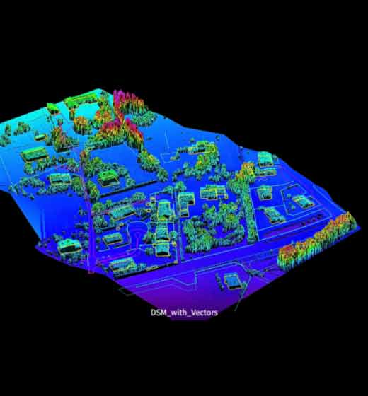
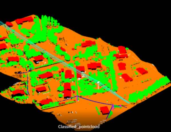
Spectrum Global Solutions supports projects that depend on accurate spatial information — from dense LiDAR classification and terrain modelling to mobile mapping extraction, UAV processing and photogrammetric production.
Geospatial experience since
Potential scaled resources
Support coverage
Acceptance-ready by design.
Define the standard
Align scope, standards, formats and acceptance criteria before production begins.
Engineer the workflow
Combine trained operators, fit-for-purpose tools and automation where it improves reliability.
Stage the QA
Apply quality checks throughout processing rather than postponing validation to final delivery.
Keep milestones visible
Track throughput and progress so project teams can plan around dependable outputs.
Local accountability. International delivery discipline.
Based in Udupi, India, we are structured for projects whose data, stakeholders and delivery schedules can span locations and time zones.
Talk to our team ↗