

Mapping in motion
Mobile Mapping.
Efficient extraction and production from sensor-rich mobile mapping data for streets, cities, transport and asset programs.
Street inventoriesUrban assetsRoad networksTransport corridorsUtility mapping3D city layers
Scope a Mobile Mapping project ↗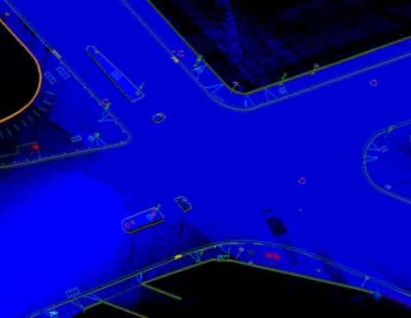
Photo: PlaneMad / Wikimedia Commons · CC BY-SA 2.5
Deliverables
What we deliver.
Outputs are scoped around the target standard, downstream workflow and acceptance criteria.
- ✦High-accuracy geospatial feature extraction
- ✦Efficient high-volume data production
- ✦3D mapping capability
- ✦Cost-conscious processing workflows
- ✦Minimal field disruption through mobile capture
- ✦Versatile outputs across mapping applications
Production pathway
Measured by usable outcomes.
01 / INGEST
Understand the source
Review data structure, reference system, density or imagery quality and representative samples.
02 / PRODUCE
Process to specification
Apply the agreed workflow with production checks designed around the target output.
03 / VALIDATE
Release with confidence
Run staged QA and prepare structured deliverables for downstream use.
Mobile Mapping FAQ