

Pixels to precise models
Photogrammetry.
Large-scale measurement and model production that transforms imagery into precise 3D, terrain and mapping outputs.
Terrain modellingUrban 3D modelsRoad corridorsRailway mappingParcel mappingAsset updates
Scope a Photogrammetry project ↗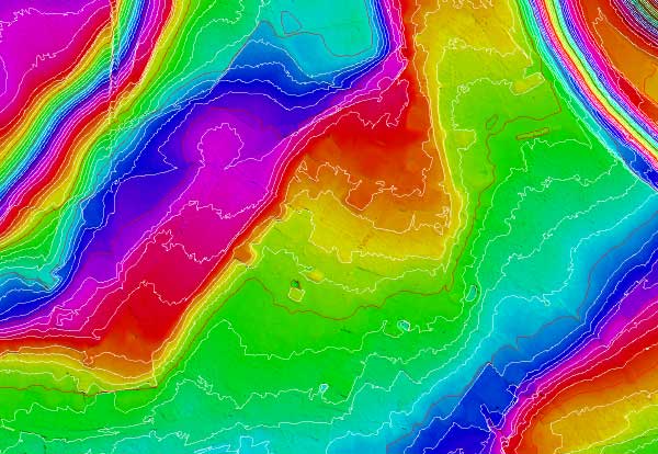
Photo: PlaneMad / Wikimedia Commons · CC BY-SA 2.5
Deliverables
What we deliver.
Outputs are scoped around the target standard, downstream workflow and acceptance criteria.
- ✦DTM, DSM, DEM and contour generation
- ✦Road corridor mapping
- ✦3D city modelling and airport mapping
- ✦Topographical and asset-data mapping updates
- ✦Railway mapping
- ✦Parcel mapping
Production pathway
Measured by usable outcomes.
01 / INGEST
Understand the source
Review data structure, reference system, density or imagery quality and representative samples.
02 / PRODUCE
Process to specification
Apply the agreed workflow with production checks designed around the target output.
03 / VALIDATE
Release with confidence
Run staged QA and prepare structured deliverables for downstream use.
Photogrammetry FAQ