
lidar
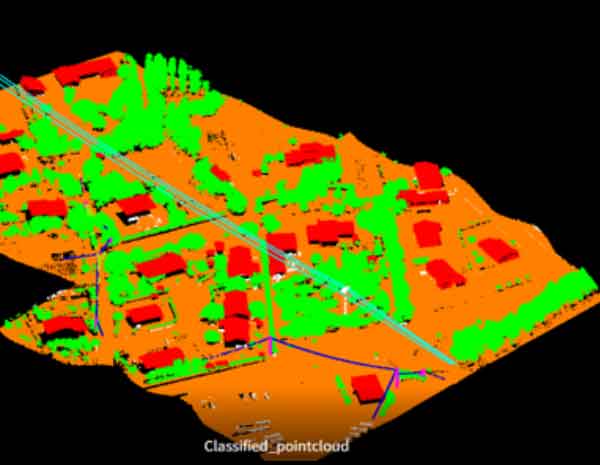
Classified LiDAR point cloud
Classified point-cloud view showing built and terrain features.

A selection of terrain, point-cloud, mobile mapping and model outputs retained from the source project archive and re-presented in the Spectrum Global Solutions visual system.
Classified point-cloud view showing built and terrain features.
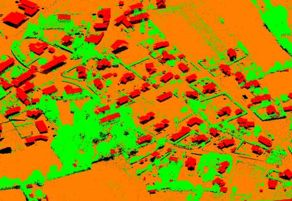
Dense classified urban point-cloud data.
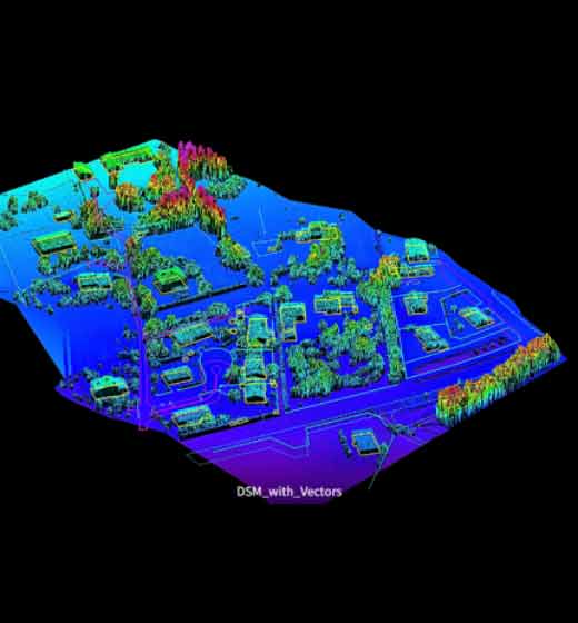
Three-dimensional spatial model of an urban block.
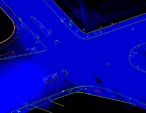
Street-scale point cloud captured for mobile mapping.
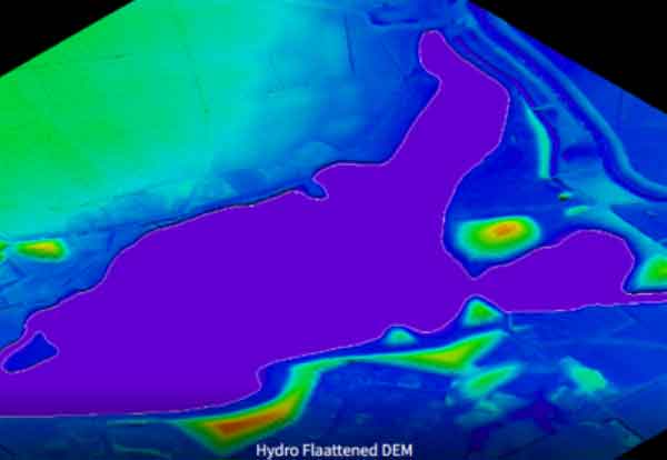
Elevation model visualizing terrain and hydro features.
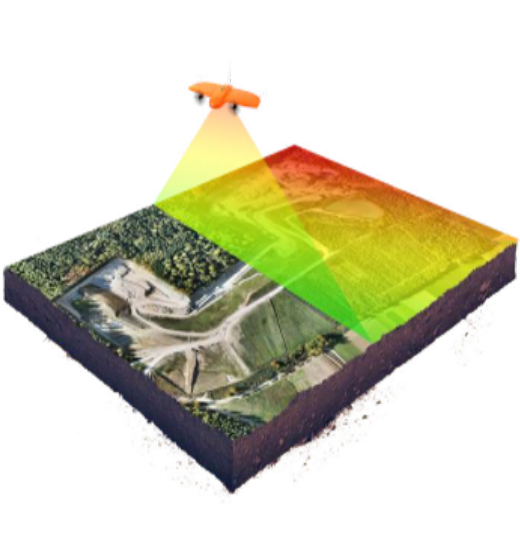
Aerial LiDAR processing and terrain visualization.
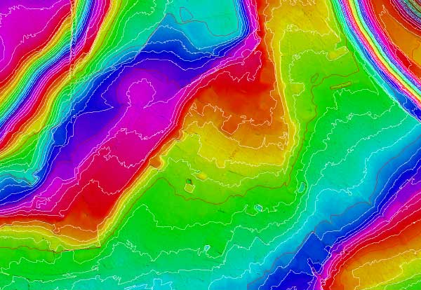
Digital terrain surface with contour representation.
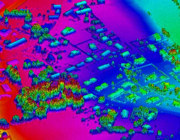
High-density colourized geospatial point-cloud output.